


Climate data used to guide where Americans build is now run by a climate critic
The federal program behind the National Climate Assessment now answers to an appointee who has publicly criticized climate science. That puts a key planning tool under a skeptic's control.
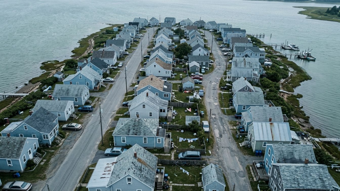
Table of contents
Summary of this article
- Federal law requires the U.S. Global Change Research Program to deliver a National Climate Assessment to the president and Congress at least every four years, according to The Conversation.
- In July 2026, the Trump administration appointed Matthew Wielicki, a former geochemistry instructor and public climate science critic, to lead the program, The Conversation reported, citing Politico.
- The administration dismantled the program in 2025 and commissioned a report dismissing climate risk that a court later determined was illegally produced, according to The Conversation.
- The National Climate Assessment documents climate risks well but fails to guide decision-makers on how to manage them, argues Robert Lempert, the interdisciplinary climate and decision scientist who wrote the analysis.
- The world's 10 hottest years on record have all occurred since 2015, and 2023 through 2025 were the three hottest, according to data cited by The Conversation from NOAA and the World Meteorological Organization.
- For homeowners, climate risk data is the input to siting, hardening, and resilience decisions. Weaker federal data raises the value of independent risk mapping.
- The strongest form of source control for climate risk is choosing and hardening a home before flood, fire, heat, or drought arrives.
In July 2026, the Trump administration appointed Matthew Wielicki to lead the U.S. Global Change Research Program, The Conversation reported, citing Politico. Wielicki is a former geochemistry instructor and public climate science critic. According to the analysis in The Conversation, he has not been meaningfully involved in research on climate change or its impacts. He now oversees one of the country’s most important scientific enterprises.
That enterprise has a specific legal job. Federal law requires the U.S. Global Change Research Program, abbreviated USGCRP, to prepare a National Climate Assessment and submit it to the president and Congress at least every four years. The assessment exists to help businesses, communities, and governments make better decisions about the growing risks climate change poses to the United States. The first report was released in 2000.
This is a source-control story told through data. Building biology treats the strongest fix as controlling a hazard at its source rather than managing the damage later. For climate risk, the earliest point of control is the decision about where to build and how to harden a home. That decision depends on reliable information about what hazards a location faces and how they are changing. The National Climate Assessment is a foundational source of that information.
What the assessment does, and what it fails to do
The National Climate Assessment has done two things exceedingly well, writes Robert Lempert, the interdisciplinary climate and decision scientist who authored the analysis and reviewed the Fourth National Climate Assessment. It has told hard truths about the risks climate change poses to the United States. And it has made clear those risks will worsen if left unchecked.
The failure is in what comes next. The assessment has largely not fulfilled a critical part of its mandate, Lempert argues. It has not given decision-makers a clear accounting of the options for adapting to or mitigating climate risks, and it has said little about which strategies fit which places under which scenarios.
Lempert offers a direct comparison. Imagine learning from your doctor that you have a serious illness, then being ushered out before hearing your treatment options or how other patients fared. That is largely the story of the assessment. It enumerates risks well but does a poor job of helping people decide how to manage them.
Why the data matters for your home
Where a home sits determines its exposure to flooding, wildfire, extreme heat, and drought. A house cannot move once it is built. That makes siting the earliest and most consequential resilience decision a homeowner makes, and it makes accurate risk data the input to that decision.
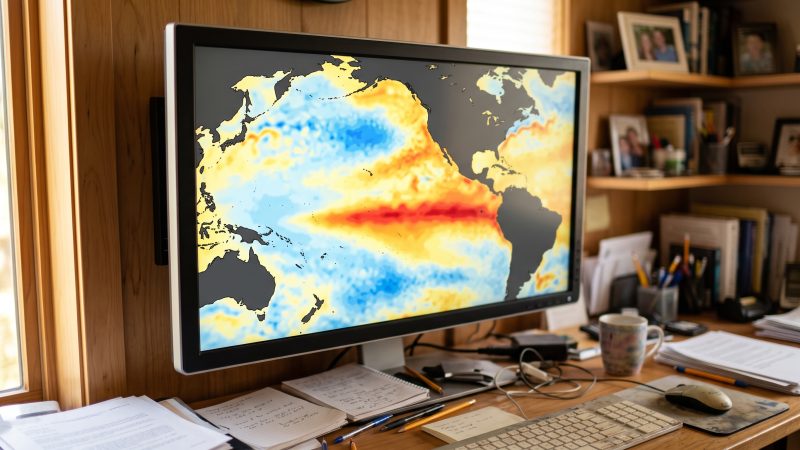
The stakes are rising with the temperature. The world’s 10 hottest years on record have all occurred since 2015, according to data cited by The Conversation from the World Meteorological Organization. The years 2023 through 2025 were the three hottest on record globally, based on NOAA data. Americans are experiencing that warming in worsening storms, riskier floods and fires, extreme heat, and drought.
A homeowner armed with reliable local risk data can act on it. They can avoid a parcel in a floodplain expanding under intensifying rainfall. They can harden a home in the wildland-urban interface against ember intrusion. They can size cooling and seal a building envelope against heat waves that used to be rare. Without that data, each of those decisions becomes a guess.
The gap the assessment leaves for homeowners
The assessment’s weakness, as Lempert describes it, maps directly onto a homeowner’s problem. A report that names the risk but not the response leaves the individual to translate national findings into a personal decision with no guidance.
An improved assessment, Lempert argues, would build a searchable library of practical case studies of climate risk-management decisions. It would describe why New York City used scenario planning to prepare for sea-level rise and more intense storms, and why Flagstaff, Arizona, turned to a ballot initiative to address flood and wildfire risk. It would be candid about the strengths and weaknesses of competing options, including maintaining the status quo, and it would update those cases over time so users could learn from real outcomes.
For a household, that kind of resource would close the gap between “your region faces higher flood risk” and “here is what a comparable homeowner did, and here is how it worked.”
What the appointment signals
Appointing a climate science critic to lead the program will not fix the report’s shortcomings, Lempert writes. He expects it to make them worse.
The concern is grounded in a documented pattern. The administration dismantled the USGCRP in 2025, according to The Conversation. It then commissioned a group of climate skeptics to write a government report dismissing climate risk, part of an effort to rescind a decades-old federal finding that climate change endangers public health and welfare. A court later determined that report was illegally produced.
The practical consequence for homeowners is a weakening of the authoritative, federally mandated source of climate risk information. When the government’s own assessment is at risk of soft-pedaling the hazards, the burden of finding reliable data shifts onto individuals.
Where to get reliable risk data now
The building biology response is to treat siting and hardening as source control and to seek out the data that supports those decisions, from federal, state, and independent sources.
FEMA flood maps show base flood elevations and special flood hazard areas. State forestry agencies and fire-hazard severity maps identify wildfire risk zones. NOAA and the National Weather Service publish heat and storm climatology. Independent tools, including risk-mapping services that project flood, fire, and heat exposure at the property level, translate broad projections into a single address. Existing editions of the National Climate Assessment remain available and still document regional risk trends.
The goal is the same one the assessment was built to serve: give a decision-maker the information needed to act before the hazard arrives.
Practical fixes: turn climate data into home decisions
You cannot repair a federal report or move a house once it is built. You can gather the data that exists and use it to control your exposure at the two points that matter most, siting and hardening. These steps target the decision, not the aftermath.
Check independent risk maps before you buy. Review FEMA flood maps, state wildfire hazard maps, and property-level flood, fire, and heat risk tools for any address you are considering. Treat the results as a siting input worth acting on.
Weigh the trajectory, not just today’s risk. A parcel outside the current floodplain may sit inside the projected one. Look for how a hazard is changing, since climate risk grows over the life of a home.
Harden for your specific local hazard. In fire zones, add ember-resistant vents, non-combustible roofing, and defensible space. In flood zones, elevate systems and seal the envelope. In heat zones, insulate, shade, and size cooling to future extremes.
Test and seal the building envelope. A tight, well-insulated envelope reduces both heat load in extreme heat and water intrusion in storms, protecting against multiple climate hazards at once.
Keep existing assessment editions on hand. Prior National Climate Assessment reports still document regional flood, fire, heat, and drought trends. Use them alongside state and independent data.
Engage local resilience planning. Attend municipal hazard-mitigation and floodplain meetings. Local plans often carry the parcel-level detail national reports lack.
The bottom line
The National Climate Assessment is the federally mandated report that tells the country where climate risk is headed, and in July 2026 the Trump administration placed a climate science critic, Matthew Wielicki, in charge of the program that produces it, according to The Conversation. The report already had a gap. It documents risk well but fails to guide decisions, argues Robert Lempert, who reviewed the Fourth National Climate Assessment. That gap matters most to homeowners, because siting and hardening are the earliest forms of source control against flood, fire, heat, and drought. With the 10 hottest years on record all since 2015, the data has never mattered more. You cannot fix the report, but you can gather the risk data that exists and use it. Check the maps, weigh the trajectory, and harden the home before the hazard reaches it.
Sources
- The Conversation. The National Climate Assessment is broken, appointing Matthew Wielicki to lead it won't help, by Robert Lempert, on the assessment's legal mandate, its shortcomings, and the July 2026 appointment.
- Politico, cited by The Conversation. Reporting on the appointment of Matthew Wielicki to lead the U.S. Global Change Research Program.
- National Oceanic and Atmospheric Administration (NOAA) and the World Meteorological Organization, cited by The Conversation. Data showing the 10 hottest years on record have all occurred since 2015, with 2023 through 2025 the three hottest.
- U.S. Global Change Research Program. National Climate Assessment reports documenting regional climate risk trends.
Questions people ask
What is the National Climate Assessment?
The National Climate Assessment is a report the U.S. Global Change Research Program is required by federal law to submit to the president and Congress at least every four years, according to The Conversation. Its purpose is to help businesses, communities, and governments make better decisions about the risks climate change poses. The first edition was released in 2000.
Who is Matthew Wielicki and why does his appointment matter?
Matthew Wielicki is a former geochemistry instructor and public climate science critic whom the Trump administration appointed in July 2026 to lead the U.S. Global Change Research Program, The Conversation reported, citing Politico. The program oversees the National Climate Assessment. According to the analysis, he has not been meaningfully involved in climate research, which raises concern that the assessment could downplay climate risk.
Why is the National Climate Assessment considered broken?
Robert Lempert, the interdisciplinary climate and decision scientist who wrote the analysis and reviewed the Fourth National Climate Assessment, argues the report documents climate risks well but fails to guide decision-makers on how to manage them. It enumerates hazards without giving a clear accounting of adaptation and mitigation options or which strategies fit which places.
How does climate risk data affect where I should build a home?
Where a home sits determines its exposure to flooding, wildfire, extreme heat, and drought, and a house cannot move once built. Reliable climate risk data is the input to that siting decision. The world's 10 hottest years on record have all occurred since 2015, according to data cited by The Conversation, so the trajectory of a hazard matters as much as its current level.
Where can I find reliable climate risk data now?
Use FEMA flood maps for flood risk, state forestry and fire-hazard severity maps for wildfire risk, and NOAA and National Weather Service data for heat and storm climatology. Independent property-level risk tools project flood, fire, and heat exposure for a specific address. Existing editions of the National Climate Assessment remain available and still document regional risk trends.
What can I do to protect my home if federal climate data weakens?
Treat siting and hardening as source control. Check independent risk maps before you buy, weigh how a hazard is changing over the life of the home, and harden for your specific local threat with ember-resistant construction in fire zones, elevation and sealing in flood zones, and insulation and cooling in heat zones. Engage local hazard-mitigation planning, which often carries parcel-level detail national reports lack.
Have questions about the environment inside your home?
Air quality, mold, EMF, light and water all shape how a house feels and how the people in it feel. Whatever your concern is, the first step is finding out what is there.
Our certified team of environmental professionals and advocates can help.