


Somebody Drew Your Block by Hand a Century Ago and Wrote Down What Was Inside It
Fire insurance maps labeled every building by what went on in it. Auto repair. Dry cleaning. Coal yard. Tannery. Those two-word labels tell you what soaked into your ground, and reading them costs nothing.
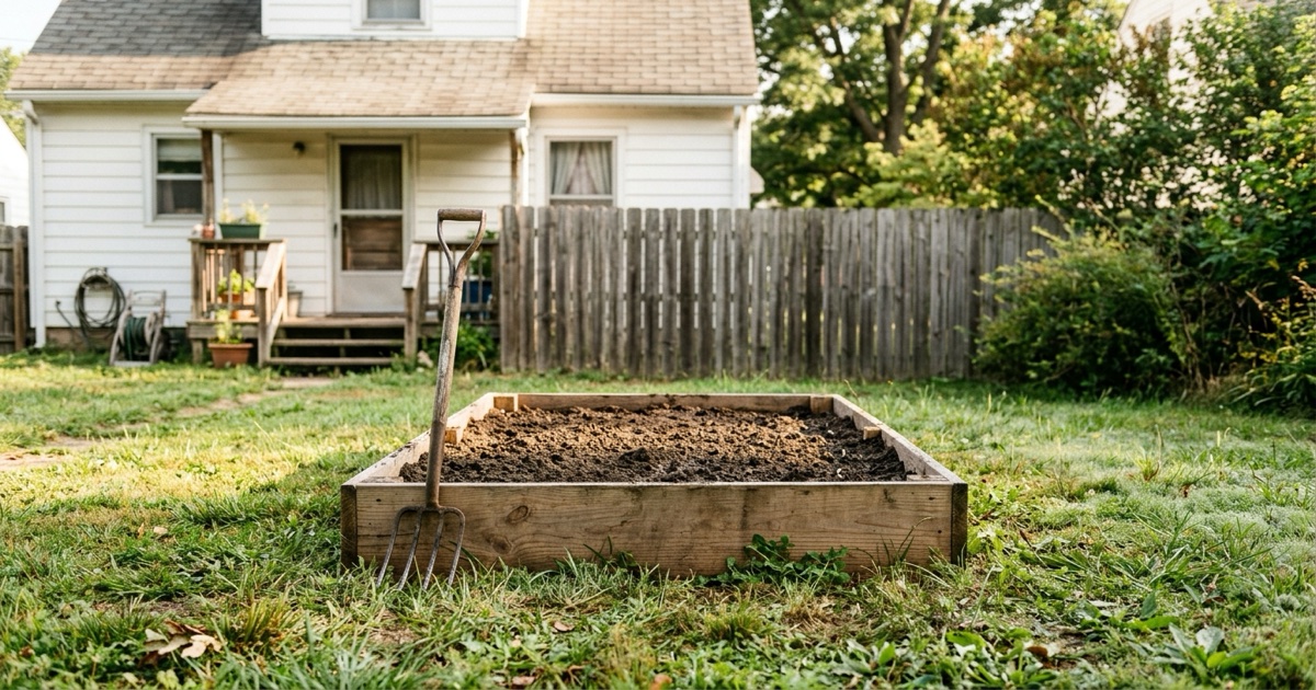
Table of contents
Summary of this article
- USGS has mapped the country's topography since 1879, and its Historical Topographic Map Collection carries more than 178,000 maps printed between 1884 and 2006.
- Sanborn fire insurance maps label the use of individual buildings, spanning 1867 to 1970 across more than 12,000 American towns.
- EPA reported 583,313 confirmed releases from underground storage tanks as of March 2026.
- State tank registries exclude residential heating oil tanks, so a home's own tank may leave no record.
- SBM-2024 grades pesticides and PAHs in house dust, where no federal residential standard exists.
- SBM-2024 states it has no building biology guideline values for heavy metals yet.
- A historical land use tells you what to test for. It does not establish that anything is in your soil now.
Why does it matter what was on your lot before?
Because whatever stood here left something behind, and dirt keeps it.
Picture a Saturday in spring. You are breaking ground for tomatoes, two spade-lengths down, and up comes cinders, a seam of ash, half a brick with no wall attached to it. Somebody built on this ground. Somebody burned something on it. Nobody left a note.
Old fuel tanks, dry cleaners, orchards, filling stations and small factories all put things into ground that outlast a building. Lead from a garage that came down in 1968. Solvent from a shop that pressed suits. Arsenic from an orchard sprayed every spring for a working lifetime.
None of it decays on a schedule that means anything to a homeowner. It stands in the top layer of soil, which is where children dig, the layer a dog rolls in, and where dust blows in through a screen door.
Now for the good part. You can find out what stood here, most of it in one evening at a kitchen table, and almost none of it costs a cent.
Who drew the map of your block?
Sanborn fire insurance maps name what individual buildings were used for. A draftsman walked a street, sketched every structure on it, and labeled each one by what went on inside.
Those labels are your prize. “Auto repair.” “Dry cleaning.” “Coal yard.” “Tannery.” Two words in a neat hand, sitting on a lot you can pick out, because your street is drawn right there beside it.
Nobody did this for your benefit. An insurer had to price a fire, which meant knowing what a building was made of, how many floors it stood, and whether a shop inside kept barrels of something that goes up. Map librarians at UC Berkeley put the working scale plainly, at 50 or 100 feet to an inch, close enough to pick out a garage. Sanborn was the biggest of them, covering the United States, Mexico and Canada.
Digital coverage runs 1867 to 1970, across more than 12,000 American towns and cities. If your house stands in a town that existed before about 1950, there’s a fair chance a stranger drew your block a century ago and labeled every building on it.
The Library of Congress keeps the largest collection and has digitized part of it. State and university libraries keep their own sets. Your public library may already pay for a subscription database a card gets you into free, so ask a librarian before you pay anybody.
What do old maps show you?
Sanborn drew towns. Anywhere outside one, and whatever your subdivision sat on before it was a subdivision, calls for the sheets government surveyors made.
Surveyors have been mapping the country’s ground since 1879, and USGS keeps what they drew, more than 178,000 sheets printed between 1884 and 2006, at 1:250,000 and closer. Browse them free through topoView, pull down whatever you like, and nobody asks who you are or why you want it.
Read them in sequence rather than one at a time. Take the oldest sheet covering your area, then one every twenty years or so, and watch which buildings appear, then which quietly vanish.
That’s where this gets fun. A quarry that turned into a subdivision. A rail spur running along the line your street runs now. A pond that’s nowhere any more, which means somebody filled a hollow, and fill has to come from somewhere.
A building that appears in 1940 and is gone by 1960 is a question. No topographic sheet will answer it, because a survey maps ground rather than trades. That answer is back on those insurance maps, which is why we would run both.
Was there ever a gas station on your land?
Your state keeps a registry of buried fuel tanks, and that’s your next search. First, though, stand with one figure.
EPA reported 583,313 confirmed releases from underground storage tank systems as of March 2026. Half a million leaks and more, confirmed, in the one country. Cleanups finished as of September 2024 came to 522,031.
Those two carry different dates, so subtracting one from the other gives you nothing honest, and we would rather say so than hand you a tidy number. What they give you together is scale. A slow, enormous, largely invisible cleanup has been running under the country for decades, and hardly anybody outside that trade has heard a word about it.
Gas stations are what everybody pictures. Farms, trucking yards, marinas, car dealerships, funeral homes and any house that ran on heating oil are what people miss, and heating oil covers a huge number of houses in the Northeast. State registries leave residential heating oil tanks out, so a tank under your own yard may have no paperwork at all.
Old aerial photographs catch what a registry never will. A frame from the fifties showing pumps and a canopy settles it in one glance. Plenty of state mapping portals publish historical imagery free, and the USGS EarthExplorer archive carries aerial frames too.
Who knows more than any database?
Knock on a door before you open a laptop. Somebody who has lived on that street forty years can answer in one sentence what a records search takes an evening to establish, because people remember a filling station.
Your county comes next, where a clerk keeps dull documents that settle arguments. Deeds. Tax cards. Building and demolition permits. Public, all of it, and none of it costs more than a photocopy.
Ask an assessor’s office for property card history. It lists structures that no longer stand, with a year beside each one for when it came off their books. A garage demolished in 1968 can stand in your soil as lead paint and solvent long after its last board went to a dump. What was left underground does not stay there, and a home can sit on top of former toxic waste land.
Title companies keep one more thing worth asking for. A full chain of title names every owner back to an original grant, and a company name in that chain is a lead worth pulling, because companies do things to land that families do not. A corporation is searchable against state environmental records in a way that Ed and Marjorie, who owned it in 1954, are not.
Where do federal records fit in?
They describe your neighborhood rather than your lot, which is still worth ten minutes of an evening.
Envirofacts runs your address against a stack of federal databases at once, so begin there. A Superfund site search shows documented problems near where you live. A hit is no verdict on your soil. It means a real problem stands close enough to be worth asking about. Toxics Release Inventory turns “there’s a plant down the road” into a year, a chemical name and a quantity somebody reported releasing.
One warning covers all of them. They keep what somebody reported. A shop that never filed, or that shut before a database existed, leaves no row at all, and an empty screen isn’t the same finding as clean ground.
| Where to look | What it tells you | Cost |
|---|---|---|
| EPA Envirofacts | Federal records near an address | Free |
| USGS topoView | What stood on the land, 1884 to 2006 | Free |
| Sanborn maps | What each building was used for | Free to varies |
| State tank registry | Buried fuel tanks and leaks | Free |
| County deeds and permits | Owners, demolitions, additions | Free in most counties |
What should you do if you find something?
Test your dirt. A lab screen for lead and metals costs less than a home inspection, and it turns a story about a tannery into something you can act on.
Sample where the household lives. A vegetable bed. A drip line under your eaves, where paint chips have been landing for as long as that paint has been up there. A bare patch where children dig. Four or five spots mixed together beat one hole, and any lab will tell you how it wants them collected if you call first.
Then there’s house dust, which is how a yard gets indoors. Shoes carry it. A dog carries it. It settles on a sill and stays.
What you do with a result depends on what came back, and the honest ranking is short. Lead in a vegetable bed means raised beds and clean fill, which is a weekend. Lead at a drip line means keeping children off that strip and not much else. Anything at a level that worries a lab is a conversation with your county health department before it is a contractor, because they have seen your street’s history and you have not.
A soil result turns a rumor about a tannery into a decision about a vegetable bed.
What figures exist for dust in a house?
One set, and nobody enforces any of it. SBM-2024, a building biology standard written for rooms people sleep in, is one document we have found that puts figures on that dust. Pesticides run under 0.2 parts per million for no anomaly, 0.2 to 1 slight, 1 to 10 severe, above 10 extreme. The bands for 16 priority PAHs added together run under 0.5, from 0.5 to 2, from 2 to 20, and above 20. Precautionary values rather than legal limits, and written for dust that has been settling seven to ten days rather than for whatever came up in this morning’s vacuum.
No federal agency publishes a residential standard for either one. So house dust is where American regulation goes quiet and building biology does not.
That same document is straight about its own hole, and we think it earns some trust for that. It states plainly that building biology guideline values for heavy metals aren’t yet available. Bands for pesticides and PAHs, nothing yet for lead or arsenic.
One limit governs every hour of this. What stood on your land tells you what to test for. It establishes nothing about what is in your soil today, and nothing about anybody being harmed by it.
Where a record shows something serious and a test backs it up, your state runs a voluntary cleanup program, and our federal Brownfields program pays for assessment as well as cleanup. Both exist to get land back into use rather than to punish whoever owns it now.
So start tonight with one sheet. Pull an oldest map covering your address and find your street on it, or find where your street was going to be. An hour later you’ll know something about ground under your kitchen that nobody mentioned when you signed for it.
Sources
- U.S. Geological Survey. topoView, National Geologic Map Database and Historical Topographic Map Collection (2026)
- UC Berkeley Library. Maps & Air Photos: Sanborn (Fire Insurance) Maps (2026)
- U.S. Environmental Protection Agency. Frequent Questions About Underground Storage Tanks (2026)
- U.S. Environmental Protection Agency. Envirofacts (2026)
- U.S. Environmental Protection Agency. Search for Superfund Sites Where You Live (2026)
- Library of Congress. Sanborn Maps digital collection (2026)
- Baubiologie MAES and Institute of Building Biology + Sustainability (IBN). Building Biology Evaluation Guidelines for Sleeping Areas, SBM-2024, Standard Points B3 and B4 (2024) SBM-2024, 9th edition
Questions people ask
How do I find out what was on my land before my house?
Start with EPA's Envirofacts and Superfund site search for the neighborhood, then work backward with USGS historical topographic maps for what physically stood there, and Sanborn fire insurance maps for what each building was used for. County deeds and permits fill in owners and demolitions.
What are Sanborn maps?
Fire insurance maps drawn at 50 or 100 feet to an inch that show individual building footprints with construction material, number of stories and building use. Digital coverage runs 1867 to 1970 across more than 12,000 American towns and cities.
How far back do USGS topographic maps go?
The USGS began mapping the nation's topography in 1879. Its Historical Topographic Map Collection carries more than 178,000 maps printed between 1884 and 2006, at 1:250,000 scale and larger, free through topoView.
How do I know if there was a gas station on my property?
Check your state's underground storage tank registry, then look at historical aerial photography. EPA reported 583,313 confirmed releases from underground storage tank systems as of March 2026. Residential heating oil tanks are excluded from state registries.
Does an empty EPA database result mean my lot is clean?
No. These databases report what was reported. A facility that never filed, or that closed before the database began, leaves no row, so an empty result is not the same finding as a clean site.
Should I test my soil?
A lab soil screen for lead and metals costs less than a home inspection and turns a historical worry into a measurement. Sample the vegetable bed, the drip line under the eaves, and any bare patch where children play.
Are there building biology limits for lead in house dust?
Not yet. SBM-2024 states plainly that building biology guideline values for heavy metals are not yet available. It does publish bands for pesticides and for the EPA's 16 priority PAHs in dust.
Have questions about the environment inside your home?
Air quality, mold, EMF, light and water all shape how a house feels and how the people in it feel. Whatever your concern is, the first step is finding out what is there.
Our certified team of environmental professionals and advocates can help.